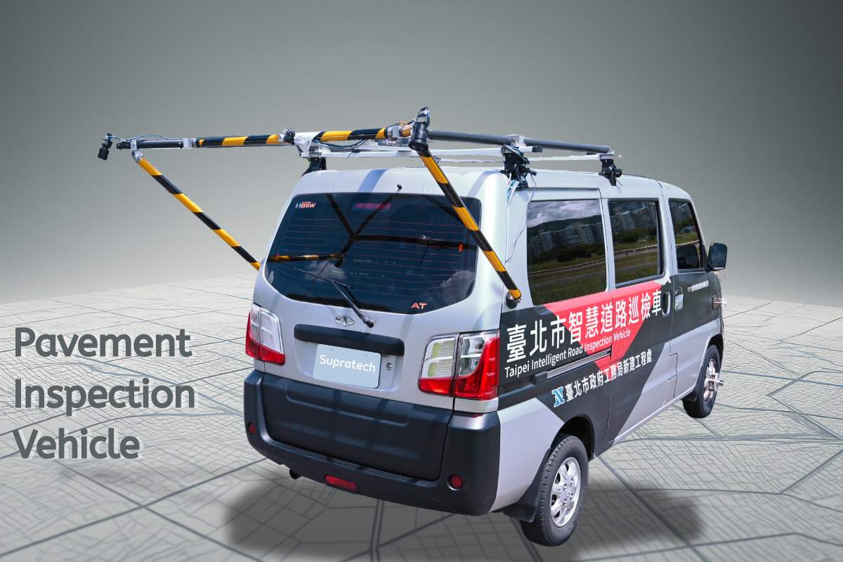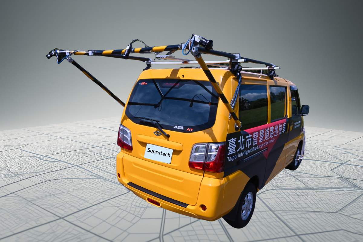
Provides secondary and tertiary (high-precision) pavement inspection services, accurately identifying road cracks, potholes, and anomalies. Capable of generating high-precision DSM (5mm) and orthophoto (1mm) analytical data, and offering IRI evaluation values to support road maintenance and management.
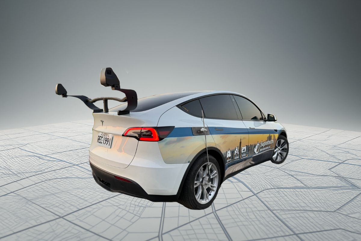
Provides high-precision panoramic survey services, reconstructing 3D street views through high-resolution image modeling for accurate restoration of roads and surrounding environments.

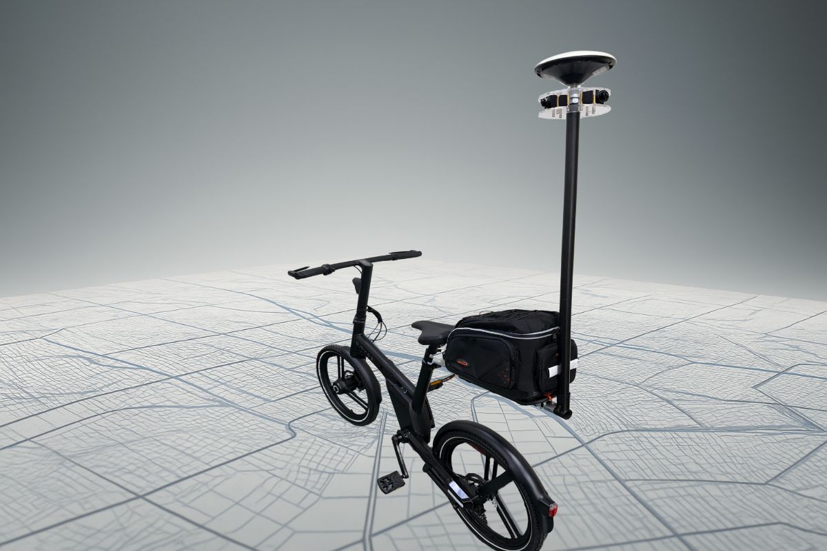
Offers precise and efficient facility investigation services. Through high-resolution imaging and data analysis, comprehensively records facility locations, conditions, and changes to optimize infrastructure management and maintenance decisions.

Survey Projects Executed

Kilometers Captured

Hours of Data Analyzed

Patents Obtained